
A local guide to Mission Bay’s coves, islands, beaches, wildlife, history, and waterfront paths.
Mission Bay is not just one beach or one viewpoint. It is a full coastal landscape made of sandy swimming coves, open water basins, channels, islands, lawns, wildlife habitat, boat lanes, walking paths, picnic parks, sunset points, and quiet corners that feel different depending on where you stand. This guide helps visitors understand the bay as a place, not just a destination on a map.
Mission Bay makes more sense when you see it as a collection of small places.
The bay changes from neighborhood to neighborhood. One side feels like a calm beach park. Another feels like open water. Another feels like a nature corridor. Another feels like a family picnic spot. The best way to enjoy Mission Bay is to know which section matches the day you want.
Think in zones: west, north, east, central, and south.
West Mission Bay is closest to Mission Beach, the oceanfront energy, hotel corridors, sunset viewpoints, and the entrances that connect bay life to beach life. This is where visitors often feel the strongest “San Diego vacation” atmosphere.
North Mission Bay includes places like Crown Point, Sail Bay, De Anza Cove, and the Rose Creek side of the park. It is a good area to understand the quieter side of the bay, with wide water views, walking paths, protected corners, and evolving habitat conversations.
East Mission Bay includes Fiesta Island, South Shores, Tecolote Shores, and broad park spaces with a more open, local, and recreational feel. It is a great side for longer walks, big-sky views, dog-friendly outings, and seeing how much space the bay really covers.
Central Mission Bay is shaped by Vacation Isle, Ski Beach, and the channels that connect the bay’s different basins. This is where the bay feels most like a network of islands, coves, and waterways.
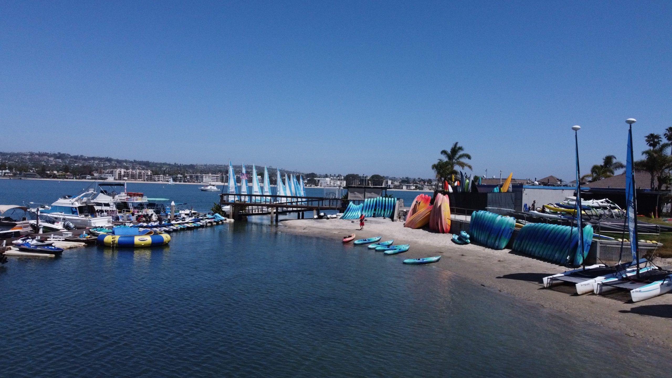
It is one of San Diego’s biggest public waterfront playgrounds, but its story started as a tidal marsh.
Before modern Mission Bay Park became a destination for walking, swimming, paddling, sailing, picnicking, and waterfront events, the area was known as False Bay, a shallow tidal marsh connected to the shifting flow of the San Diego River. The landscape was not always the clean-lined bay visitors see today. It was a softer, muddier, more changeable place where water, sediment, river flow, and coastal tides shaped the edge of San Diego.
That older landscape still matters. When people talk about Mission Bay sustainability, wetland restoration, eelgrass, wildlife habitat, and water quality, they are really talking about the balance between the bay’s engineered recreation identity and its ecological roots. The modern park is the result of dredging, shoreline construction, public planning, and decades of changing ideas about how a city should live with its waterfront.
From False Bay to one of San Diego’s most recognizable public parks.
Mission Bay’s modern shape was not accidental. Its shoreline was planned, dredged, filled, protected, opened, and revised over time. That history explains why the bay has such a unique mix of beaches, waterways, park lawns, protected habitat, hotels, visitor areas, and public access points.
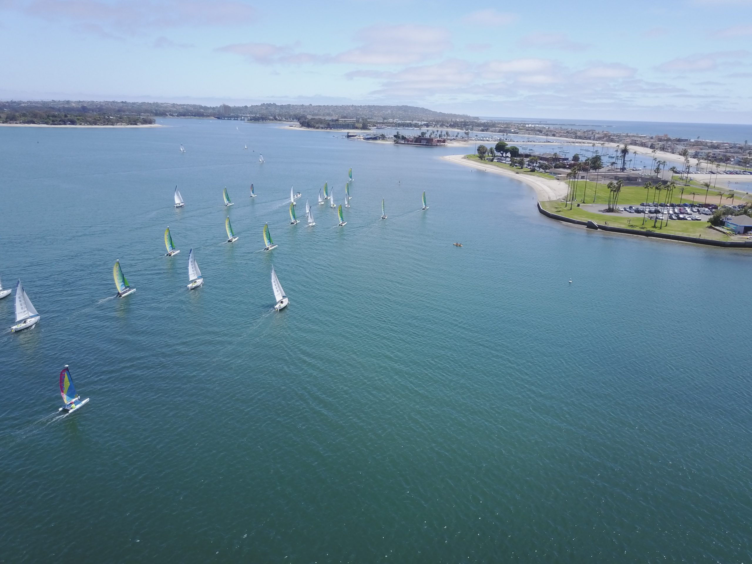
Use these guides to go deeper.
This page gives you the story. The guides below help you plan the details: where to go, what to notice, what wildlife lives here, how to move around the bay responsibly, and how the landscape has changed over time.
Every shoreline has its own personality.
Mission Bay is easier to explore when you stop thinking of it as one big circle and start seeing it as a series of connected places. Each one has a different rhythm, different views, and a different reason to visit.
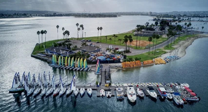
The social west-side doorway into Mission Bay.
Santa Clara Point and nearby Sail Bay sit close to the Mission Beach and Pacific Beach energy, but the water feels more protected than the oceanfront. This area is useful for visitors who want easy access, broad water views, walking paths, restaurants nearby, and a quick sense of how bay life connects to the beach neighborhoods.
Open lawns, calm water, and long bay views.
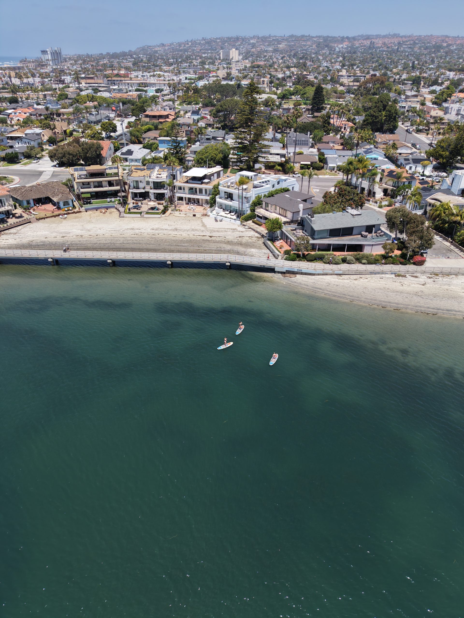
Crown Point is one of the most approachable parts of Mission Bay for picnics, walking, low-key beach time, and wide views across the water. It feels residential, relaxed, and spacious, with a calmer pace than the oceanfront boardwalk.
The central crossroads of islands and channels.
Vacation Isle and Ski Beach help visitors understand Mission Bay’s engineered geography. They sit near the middle of the bay’s activity pattern, where channels, beaches, lawns, roads, and water access all meet. This is where the bay feels most like a designed aquatic park.
The future-facing ecological edge of the bay.
The northeast side of Mission Bay is where many of the bay’s environmental conversations become visible. De Anza Cove, Rose Creek, and nearby habitat planning connect public recreation with wetland restoration, water quality, sea-level rise preparation, and the long-term health of the shoreline.
Big sky, open shoreline, and room to roam.
Fiesta Island feels different from the more manicured parts of Mission Bay. It is wider, more open, and more rugged in personality. Visitors often go for long walks, dog outings, cycling loops, shoreline views, and a sense of space that is harder to find in the denser west-side beach neighborhoods.
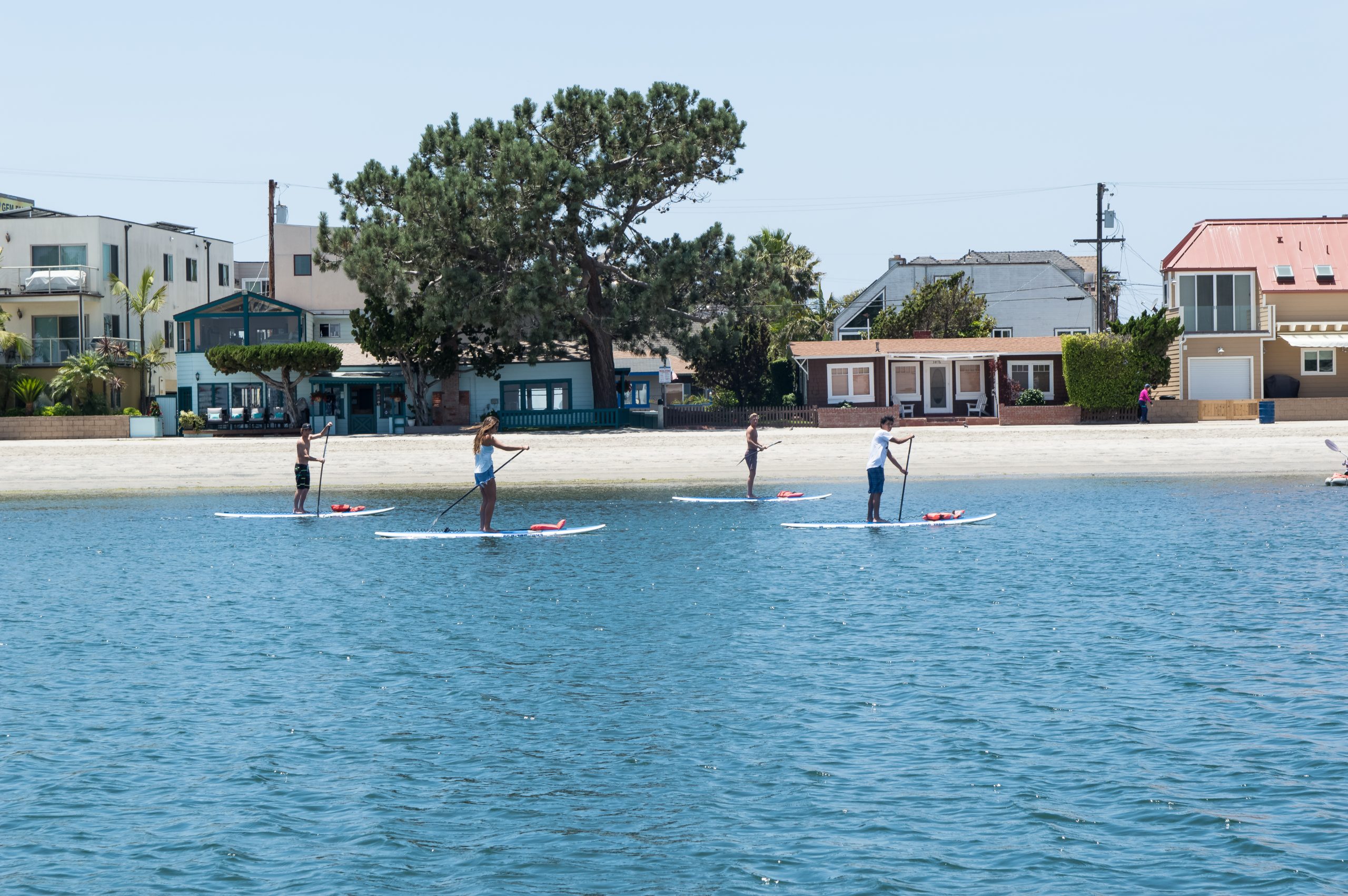
A family-friendly bridge between beach and bay.
Bonita Cove, Mission Point, Mariner’s Point, and the west-end shoreline are great for understanding how Mission Bay connects to Mission Beach. These areas are useful for families, casual walks, sunset stops, beach transitions, and visitors who want an easy waterfront day without losing access to restaurants, hotels, and oceanfront attractions.
Mission Bay is both a public playground and a living coastal system.
One of the most important things visitors can understand about Mission Bay is that beauty here is not only scenic. It is functional. Shallow edges, eelgrass beds, wetlands, and protected habitat areas support fish, birds, invertebrates, and the larger health of the bay. These natural features also help define what responsible public access should look like.
Eelgrass is especially important because it can provide shelter, nursery habitat, and food-web support in shallow coastal water. When visitors avoid dragging gear through sensitive shallows, respect marked areas, reduce plastic waste, and give wildlife space, they are helping protect the same conditions that make the bay worth visiting.
Mission Bay’s future is tied to restoration and resilience. Planning efforts around De Anza Cove and the northern shoreline show how San Diego is thinking about recreation, wetland habitat, sea-level rise, water quality, and public access at the same time. The best version of Mission Bay is not one where nature and recreation compete. It is one where people learn how to enjoy the bay without wearing it down.
Small details make the bay more interesting.
Look closely. Mission Bay is alive around the edges.
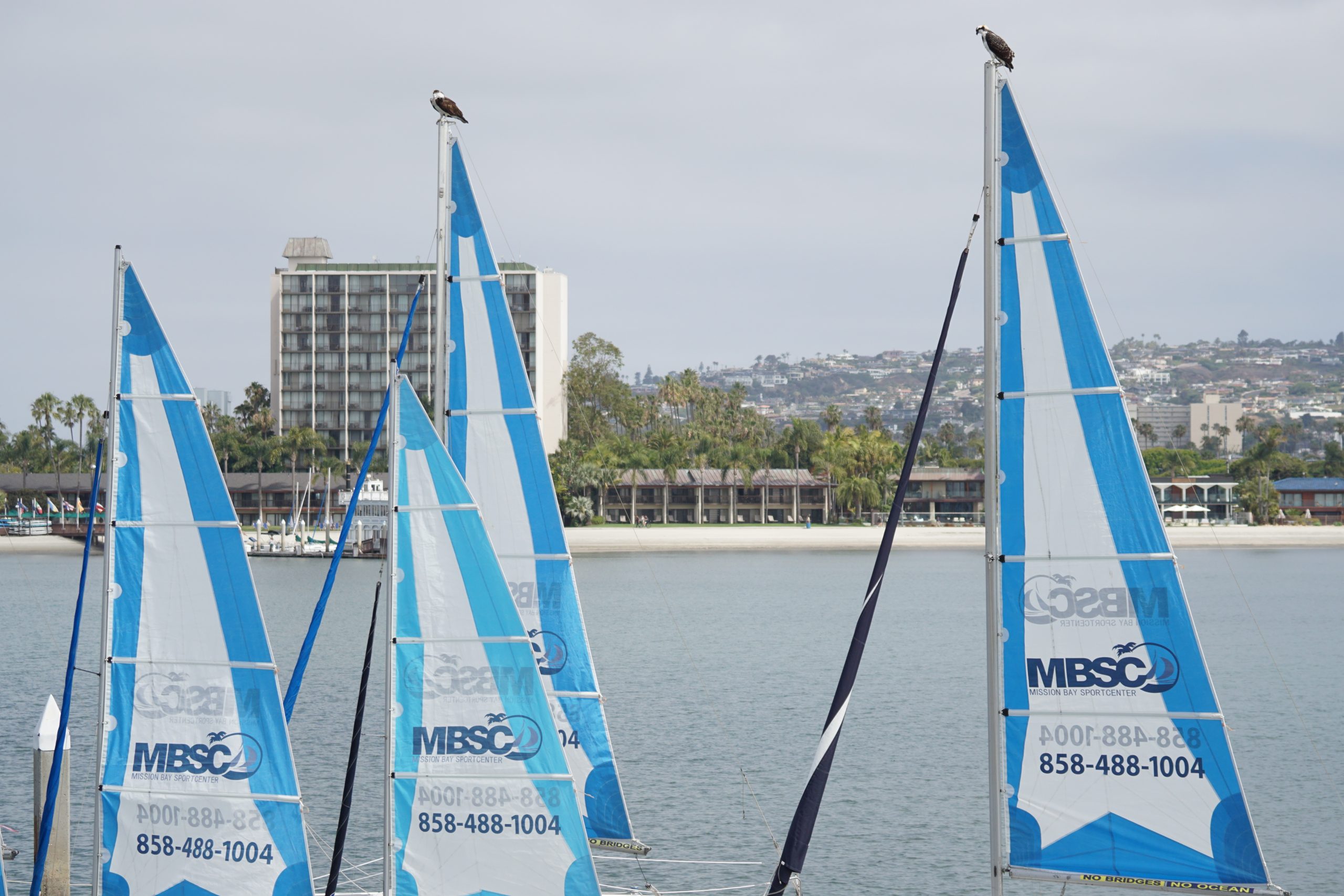
The best wildlife moments around Mission Bay often happen in the quieter details: birds watching from masts, ospreys nesting above the shoreline, fish moving through shallow water, and seabirds working the bay’s protected edges. These photos help visitors understand why Mission Bay is more than a recreation area. It is a living coastal environment.
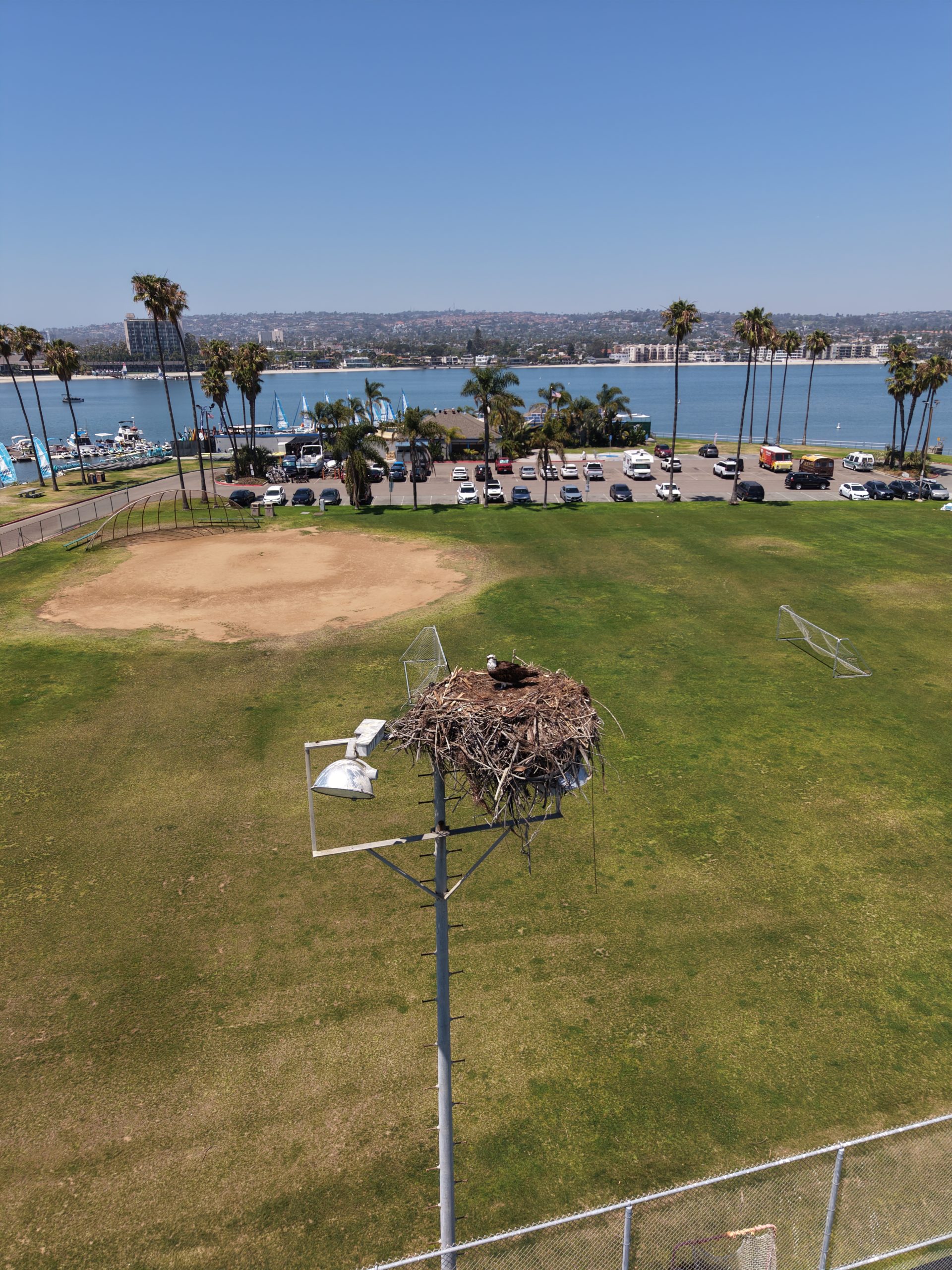
Nesting birds are part of the bay’s skyline.
Mission Bay visitors often notice birds first because they move between water, masts, shoreline structures, and habitat edges. Nesting areas are a reminder to slow down, keep distance, and let wildlife use the bay without pressure.
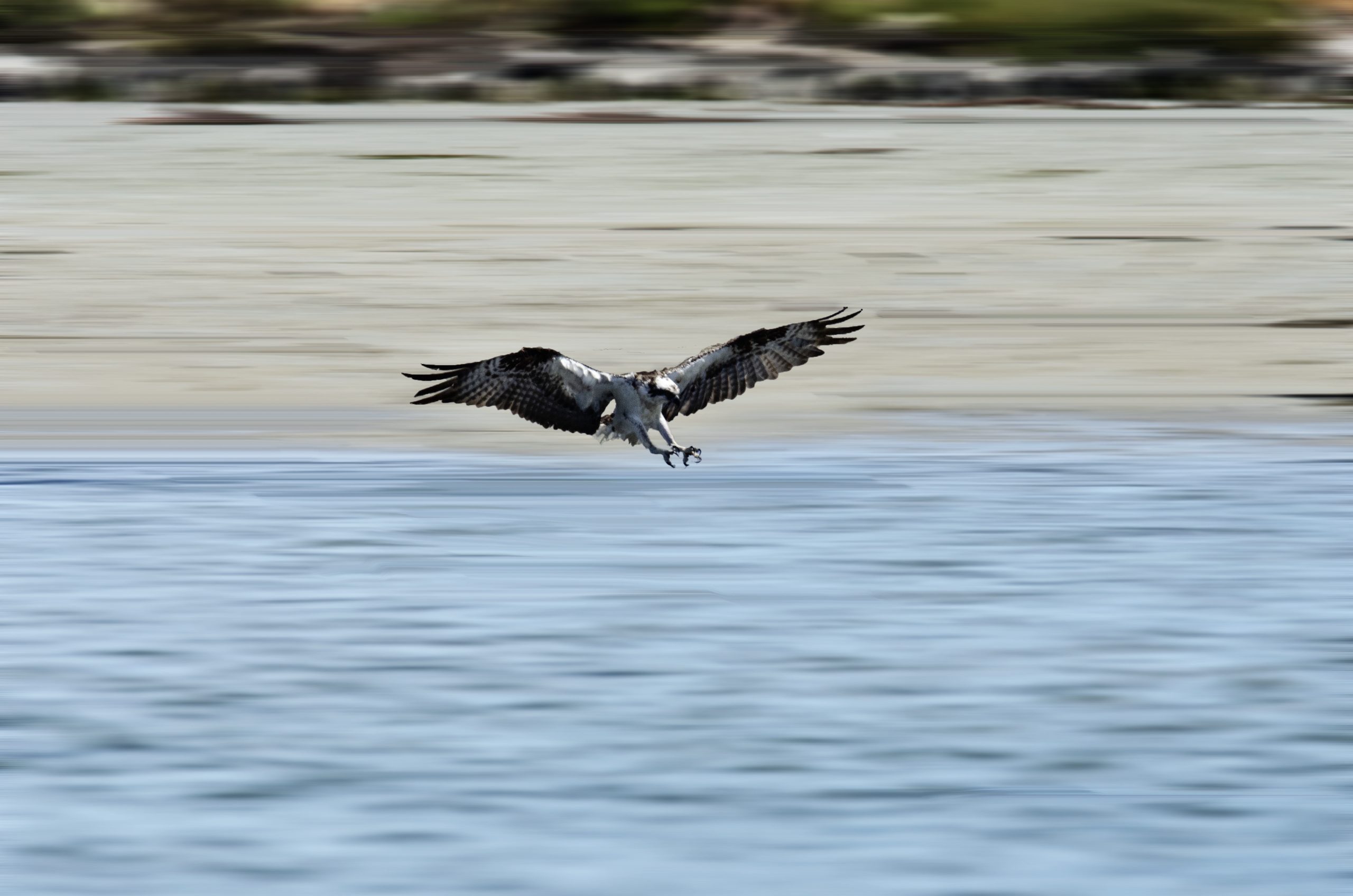
The water tells a bigger story.
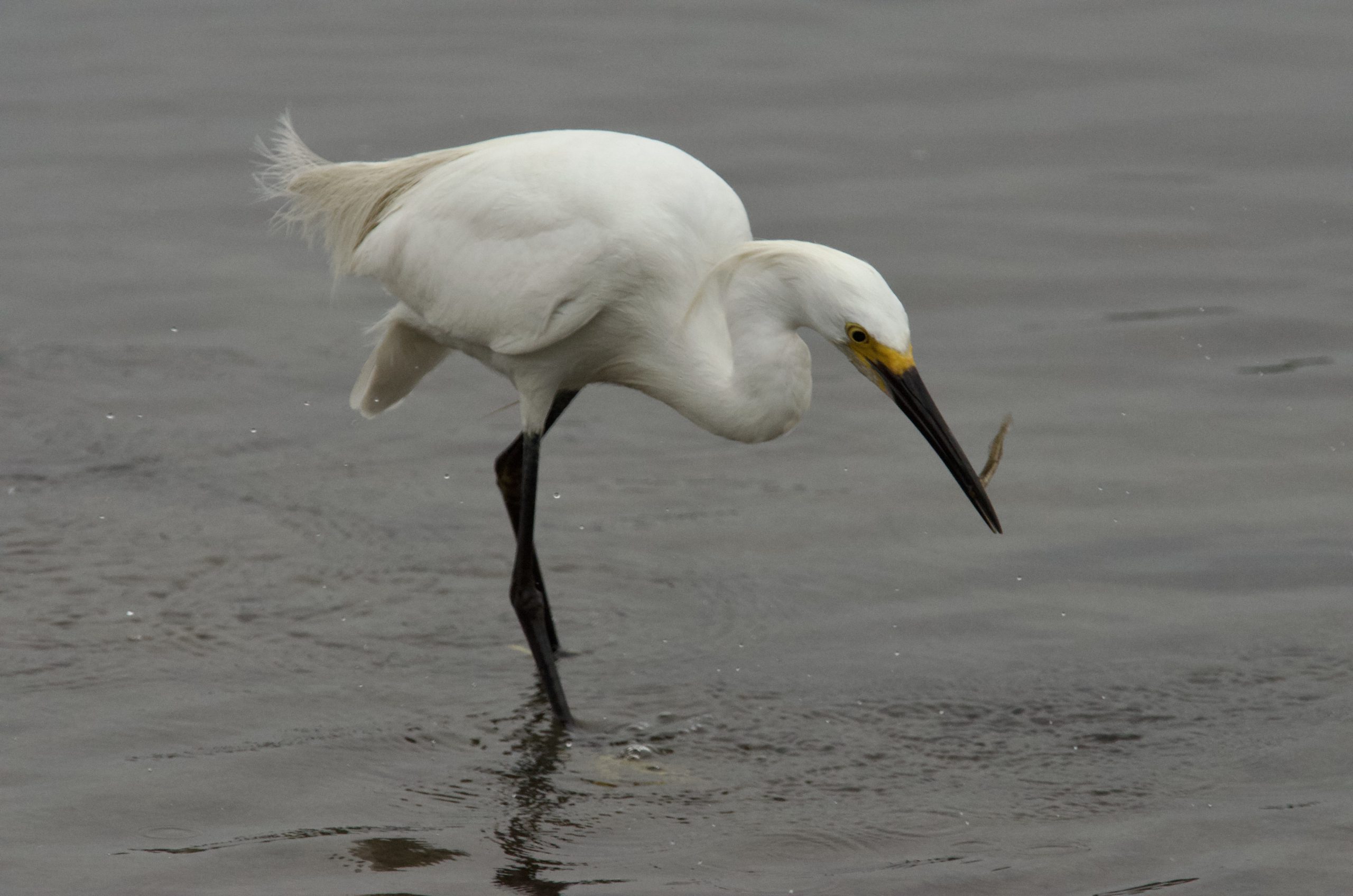
When a bird catches a fish, visitors are seeing the bay’s food web in action. Shallow-water habitat, small fish, eelgrass, tides, and birdlife all connect into the everyday ecology of Mission Bay.
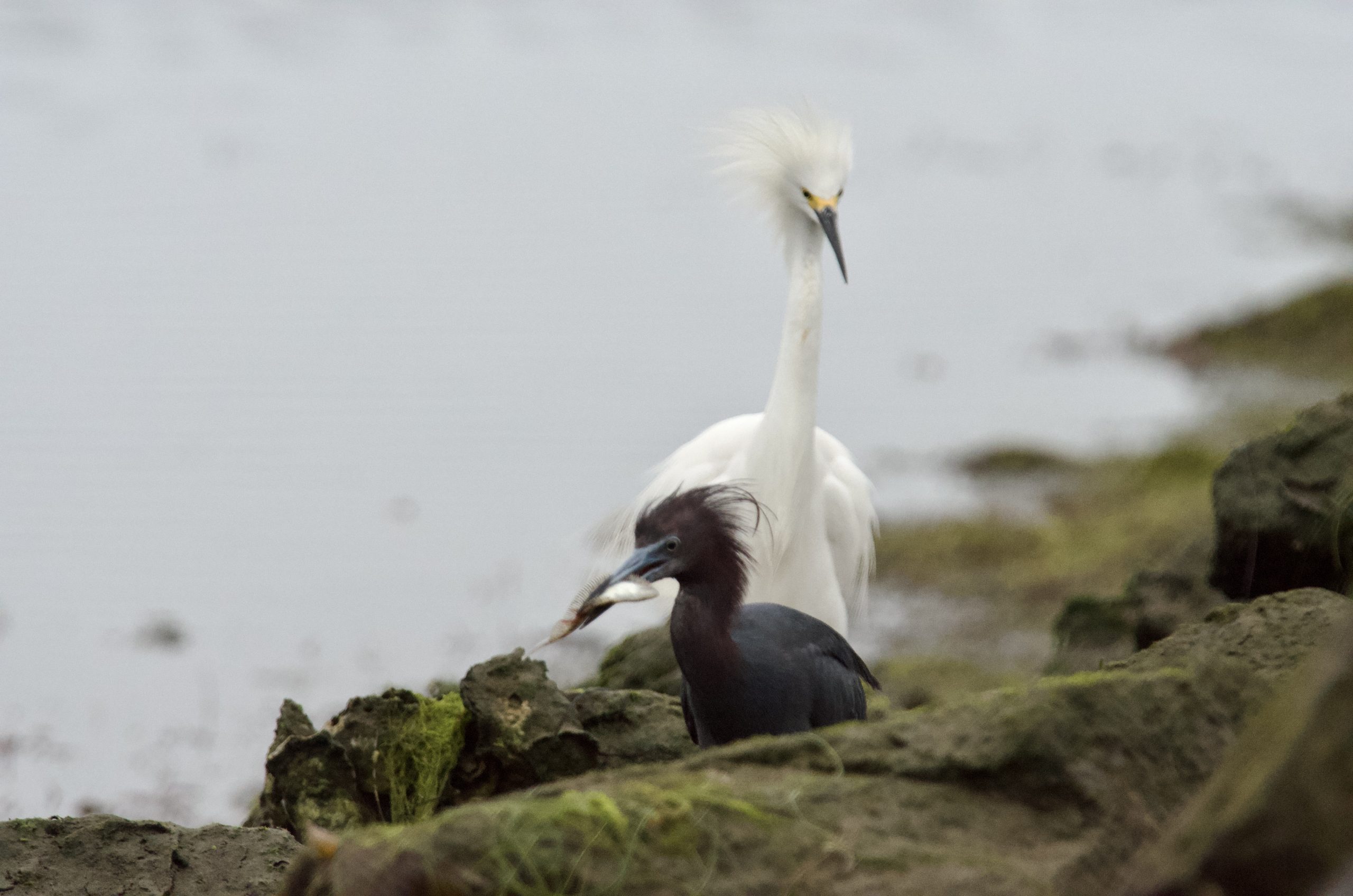
Wildlife uses the human-made shoreline too.
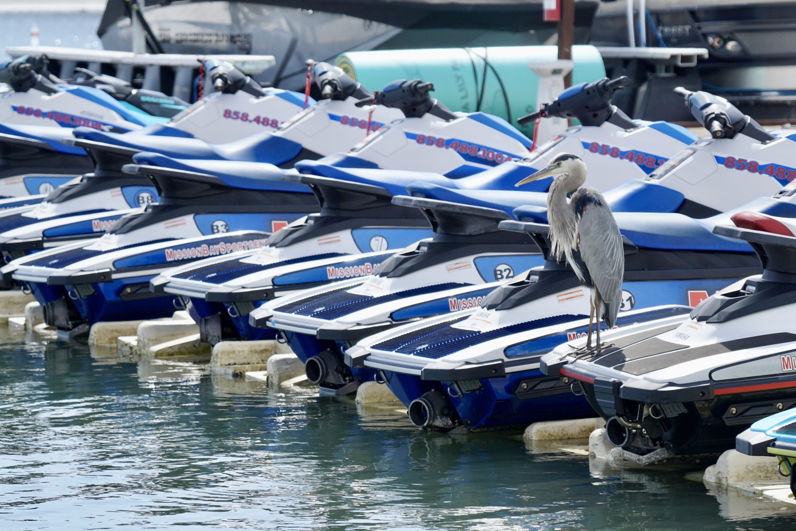
Mission Bay is a designed park, but birds adapt to docks, masts, beaches, posts, rocks, and protected corners. That mix of built space and natural behavior is part of what makes the bay interesting.
Good wildlife watching means giving space.
Mission Bay rewards patient visitors. Watch from a respectful distance, avoid crowding birds, keep dogs and noise under control near habitat areas, and let the bay’s wild moments happen naturally.
Build your day around the kind of Mission Bay you want to experience.
A good Mission Bay day does not need to be complicated. Pick a mood, choose the right section of the shoreline, and let the bay do the rest.
Start early for calm water and soft light.
Mornings are often the best time to experience Mission Bay at its quietest. The water can look smoother, the paths feel less crowded, and the shoreline has a calmer, reflective quality that is ideal for a peaceful walk, photos, coffee by the water, or simply watching the bay wake up.
Choose sandy coves and park lawns.
Mission Bay is especially easy for families because many areas combine grass, sand, paths, picnic tables, restrooms nearby, and protected water views. Bonita Cove, Crown Point, Tecolote Shores, De Anza Cove, and similar areas are helpful starting points for a relaxed day.
Slow down near habitat edges.
If you are interested in birds and shoreline ecology, avoid rushing. Look toward quieter edges, watch how birds move between water and land, and pay attention to shallow-water areas. The bay rewards patient visitors.
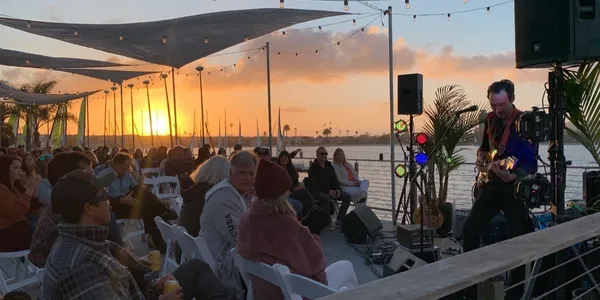
Use the west side for golden-hour views.
The west side of Mission Bay connects easily to Mission Beach and offers strong late-day light, reflections, and shoreline silhouettes. It is one of the easiest ways to turn a simple walk into a memorable San Diego sunset moment.
Look at the shoreline as a human-made landscape.
The modern curve of Mission Bay is the result of planning and dredging. When you walk around the park, notice the engineered beaches, islands, channels, park roads, visitor facilities, and protected areas. The shape of the bay tells the story of how San Diego built a public aquatic park out of a tidal marsh.
Connect paths, points, parks, and viewpoints.
Mission Bay is made for moving between places. A simple loop can include a shoreline walk, a park stop, a bridge crossing, a picnic area, a beach view, and a coffee or food stop nearby. That is what makes it feel more like a complete waterfront district than a single attraction.
A better Mission Bay day starts with simple respect.
Mission Bay is busy because it is loved. Families, locals, visitors, swimmers, walkers, cyclists, photographers, wildlife watchers, shoreline anglers, park users, and on-water visitors all use the same public landscape. Responsible recreation is not complicated. It is mostly about awareness.
The bay is best understood from more than one angle.
From aerial views to birdlife, from open water to shoreline parks, each view shows a different piece of the Mission Bay story.
Helpful questions before you explore.
What is Mission Bay best known for?
Was Mission Bay always shaped like this?
What are the best parts of Mission Bay to visit?
Is Mission Bay good for wildlife watching?
Why does sustainability matter on Mission Bay?
Where should I start if I am new to Mission Bay?
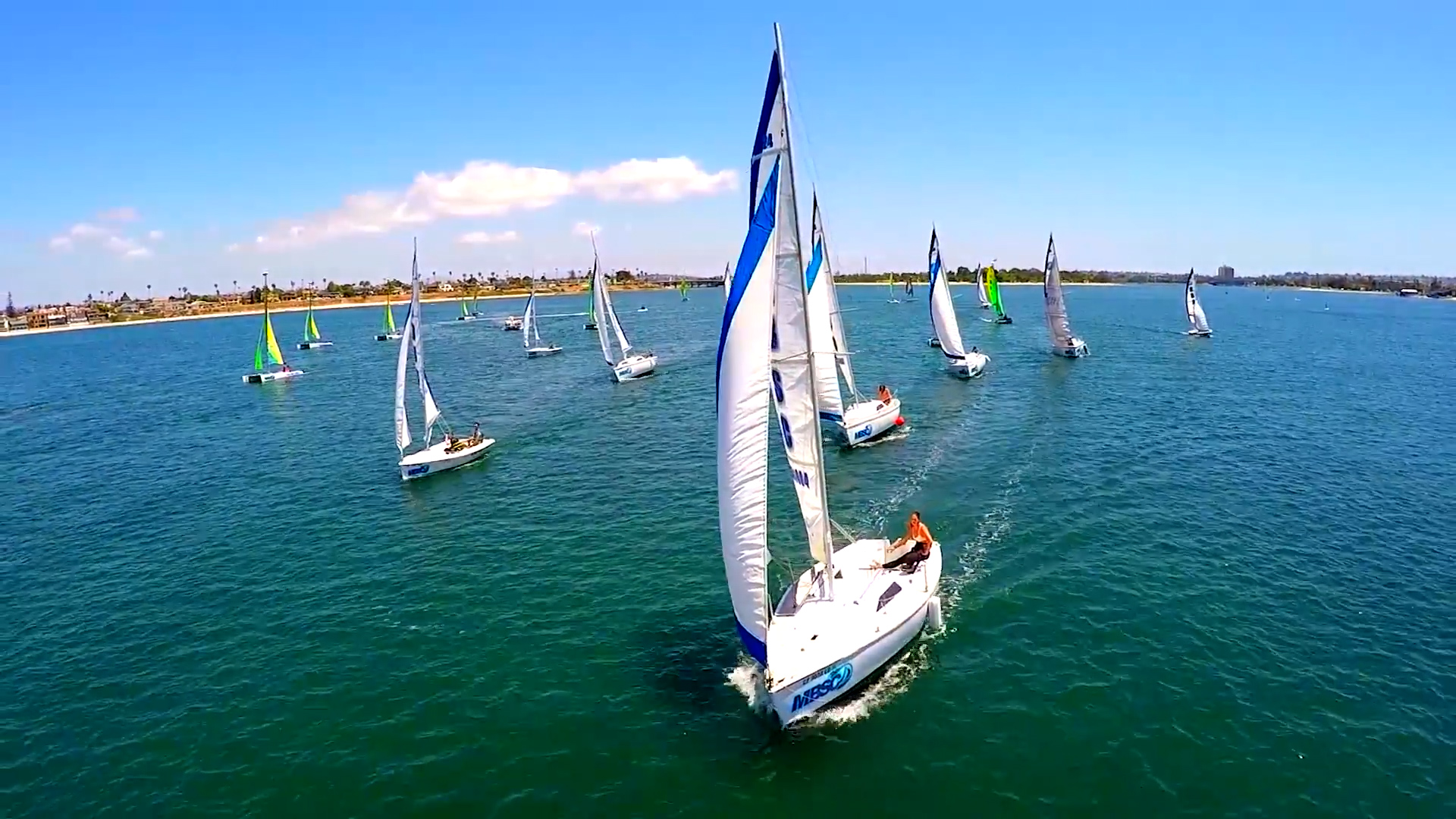
Book Rentals with MBSC
After you explore the map, history, wildlife, and different parts of the bay, make the day real on the water. Mission Bay Sportcenter is located at 1010 Santa Clara Place with easy access to one of San Diego’s most iconic waterfront playgrounds.